huffpost Press
Polo Strengthens To Category 5 Hurricane Off Mexico's Pacific Coast
Images
1 / 8

2 / 8
3 / 8

4 / 8
5 / 8

6 / 8

7 / 8

8 / 8
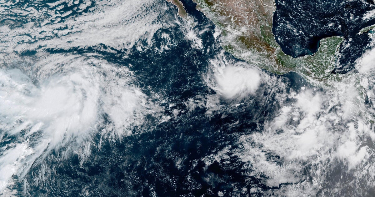
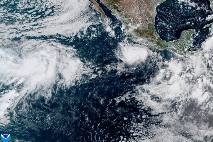
MIAMI (AP) — Hurricane Polo grew into a Category 5 storm Tuesday in the eastern Pacific off southwestern Mexico.

It had maximum sustained winds of 160 mph (257 kph), the U.S. National Hurricane Center in Miami said.

Polo was moving east at 6 mph (10 kph) and was forecast to sharply turn northwest and west-northwest. On that path, Polo would skirt the Mexican coast for a few days without directly making landfall.

Category 5 is the highest level on the Saffir-Simpson scale, reflecting that the storm’s maximum sustained winds exceed 157 mph (253 kph).

THIS IS A BREAKING NEWS UPDATE. AP’s earlier story follows below.

MIAMI (AP) — Hurricane Polo grew into a Category 4 storm in the eastern Pacific late on Monday and was forecast to bring heavy rain to southwestern Mexico but remain offshore.

It had maximum sustained winds of 130 mph (215 kph) and may intensify further and reach Category 5 strength Tuesday or Wednesday, the U.S. National Hurricane Center in Miami said. Category 4 storms have winds of 130-156 mph (210-250 kph) on the Saffir-Simpson scale, and Category 5 hurricanes have winds exceeding 157 mph (250 kph).

Polo was moving east-southeast at 5 mph (7 kph) and was forecast to sharply turn northwest and west-northwest. On that path, Polo would skirt the Mexican coast for a few days without directly making landfall.

A tropical storm watch was issued for part of the coast south of Manzanillo in Colima state to Tecpan de Galeana in Guerrero state, meaning tropical storm conditions were possible in the area within two days. Polo was centered about 330 miles (530 kilometers) south-southeast of Manzanillo as of late Monday.

Heavy rain with the potential for flooding and landslides was forecast for coastal Guerrero and Michoacán states through Thursday. Smaller amounts of rain were possible in coastal portions of Oaxaca, Colima and Jalisco states.

Farther west in the Pacific Ocean, Tropical Storm Odalys was far from land but expected to become a hurricane by midweek. Odalys had maximum sustained winds of 50 mph (85 kph) on Monday.

In the Atlantic Ocean, Tropical Storm Fay had weakened to 40 mph (65 kph) southwest of the Azores and was forecast to be a remnant low by late Tuesday.

No Atlantic hurricanes have formed yet this year, and this year has set a record for the longest a season has begun without a hurricane. The effects of this year’s El Nino crush storms before they get going.

By entering your email and clicking Sign Up, you're agreeing to let us send you customized marketing messages about us and our advertising partners. You are also agreeing to our Terms of Service and Privacy Policy.
Comments
You must be logged in to comment.