bbc Press
UK weather: Final day of heatwave brings thunderstorm and flash flood risk
Images
1 / 20
2 / 20
3 / 20
4 / 20
5 / 20
6 / 20
7 / 20
8 / 20
9 / 20

10 / 20

11 / 20
12 / 20

13 / 20
14 / 20
15 / 20
16 / 20

17 / 20

18 / 20

19 / 20

20 / 20
The heatwave impacting parts of the UK this week continues into Tuesday with a risk of thunderstorms in some parts.

Pershore in Worcestershire and Cavendish in Suffolk hit three consecutive days of heatwave threshold temperatures on Monday and it is expected more parts of southern and eastern England will reach heatwave criteria on Tuesday.

Amber and yellow heat health alerts, external are in effect across much of England until 09:00 BST Wednesday, with temperatures expected to reach more than 30C in some areas.

The intense heat will be short lived though as a change in the weather pattern is on the way from midweek.

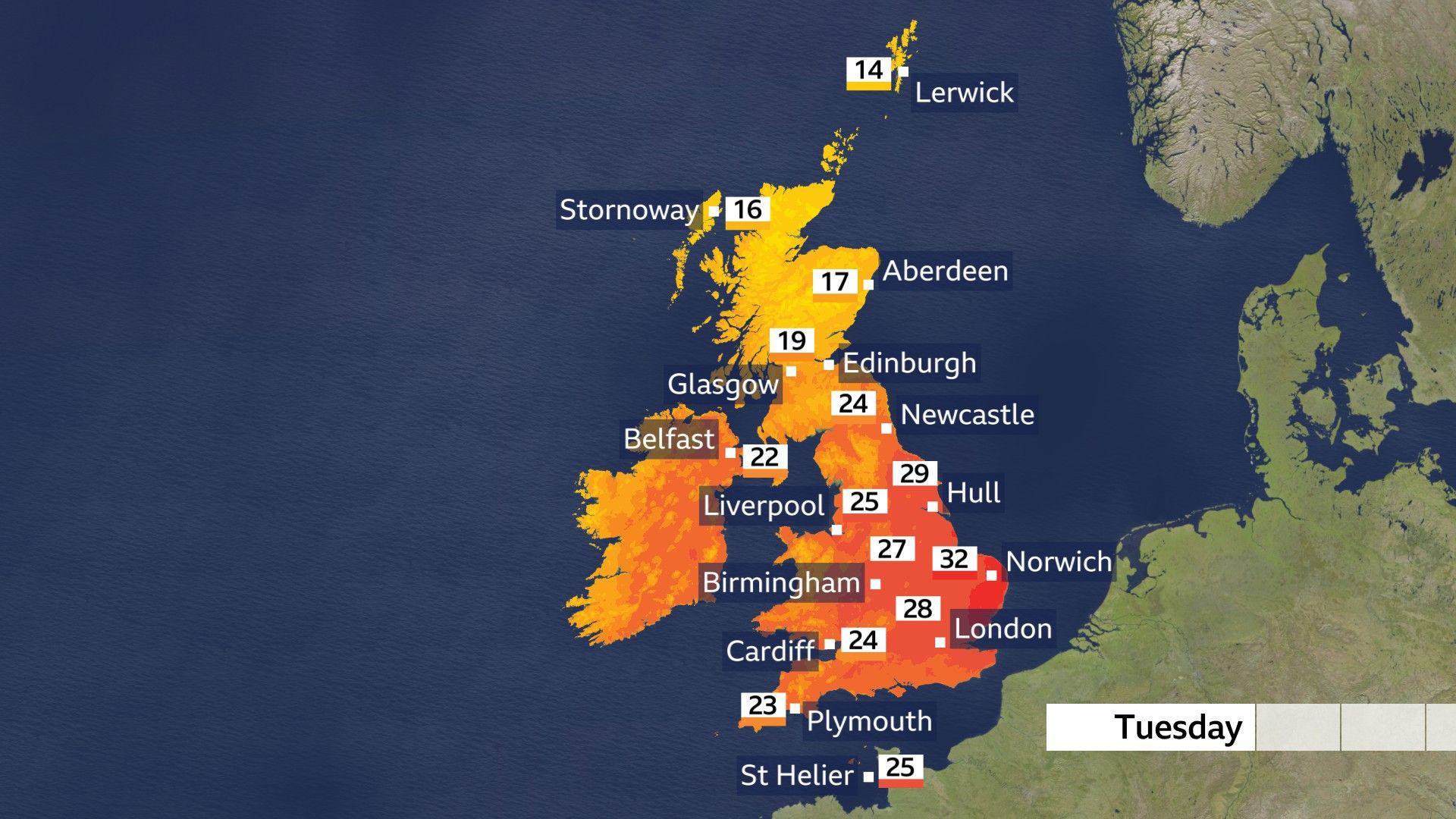
The warmest temperatures will be felt in southern and eastern England on Tuesday

During Tuesday, a cold front will move southwards across the Midlands and into south-east England. However, it is unlikely to deliver any meaningful rainfall.

Some areas in the far south-east, including London, Essex, Kent and Surrey, are unlikely to receive any rain at all.

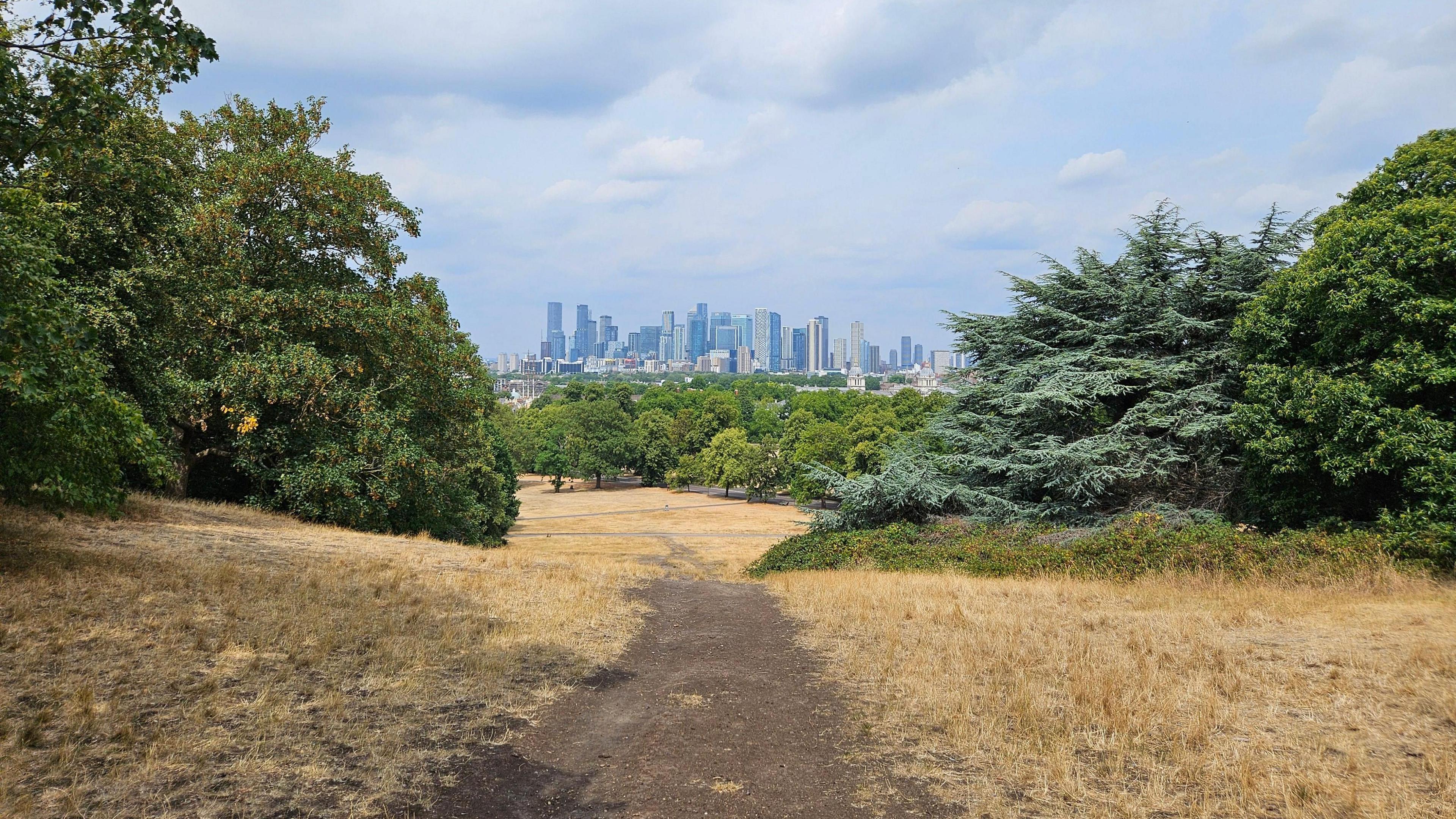
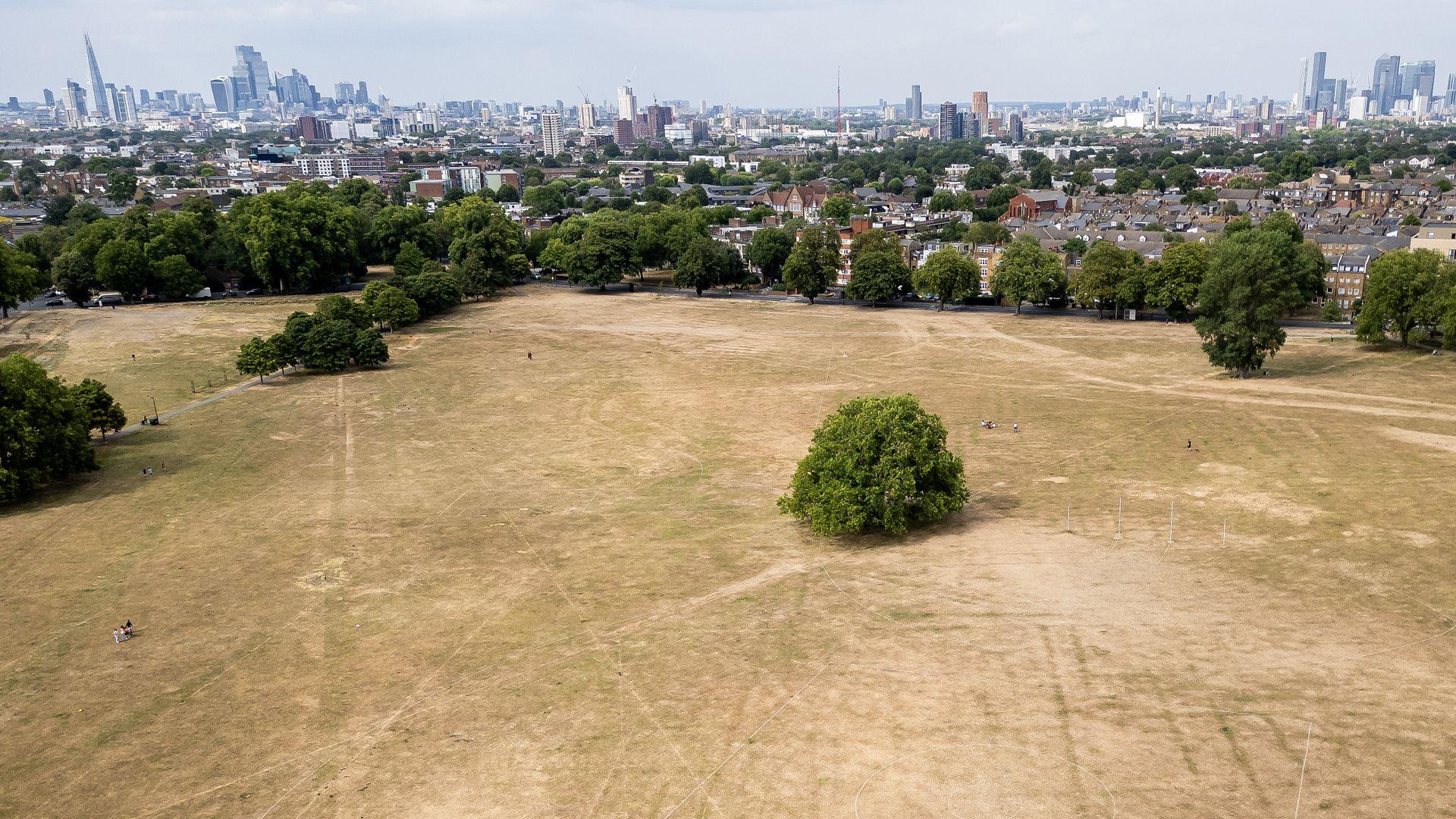
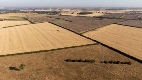
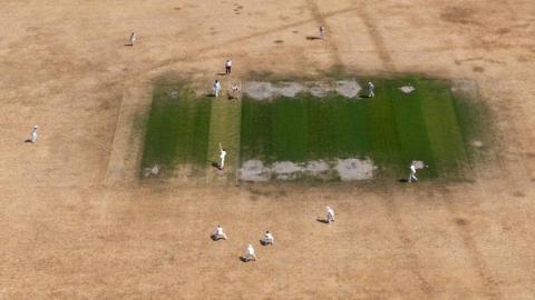
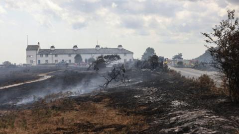
This is a pattern that has become all too familiar in recent weeks, as the UK experienced its driest and sunniest July on record.

Areas of low pressure have tracked to the north of the UK, bringing below-average rainfall and consistently failing to deliver any meaningful rain further south.

This video can not be played

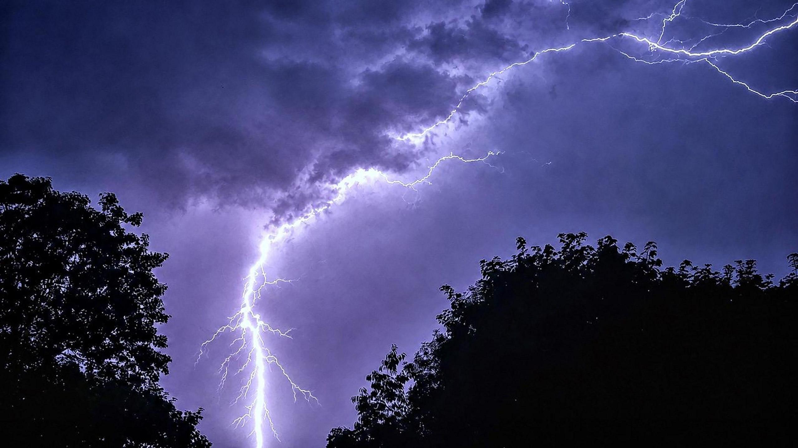
Scattered thunderstorms will develop through the day on Tuesday

Low pressure which has recently brought rainfall to Scotland, Northern Ireland and parts of northern England will will bring scattered showers and thunderstorms on Tuesday and into Wednesday. However, this is unlikely to alleviate the current drought.

A yellow thunderstorm warning has been issued by the Met Office for parts of Northern Ireland on Tuesday.

It will run from 12:00 to 21:00, when up to 30mm of rain in an hour or two is possible, along with strong winds and the chance of hail.

Areas that do see a heavy downpour are at risk of flash flooding.

The scorched ground, dry grass and soil caused by the lack of rain is likely to cause significant pooling and runoff, as rainfall struggles to get absorbed during brief bursts of heavy rain.

Hail may accompany the most intense downpours which could come as a surprise following the predominantly hot and dry conditions.

Hail is most common in summer months as it needs to develop inside towering cumulonimbus clouds, which are often spawned by intense heat at ground level.

Why thunderstorms follow hot weather

Following one of the driest and hottest stretches of weather in the UK's history, the indications are that August is likely to bring more of the same.

Forecast models suggest low rainfall and above average temperatures will continue for much of the UK, meaning it is unlikely that any of the hosepipe bans affecting more than 20 million people in England and Wales will be lifted soon.

Wisley in Surrey remains the driest location in the UK, having recorded 47 consecutive days without measurable rainfall, while many other parts of the UK have had a fraction of their normal rainfall in June and July.

Further spikes of heat are likely, however as August wears on and the sun gradually loses some of its intensity, the likelihood of extreme temperatures in the high 30s lessens.

But it is not uncommon to have spells of intense heat reaching 30C or higher even into September.

You can see the latest forecast for the coming weeks here.

Is there a hosepipe ban in my area? What you need to know

More than half of England in drought, Environment Agency declares

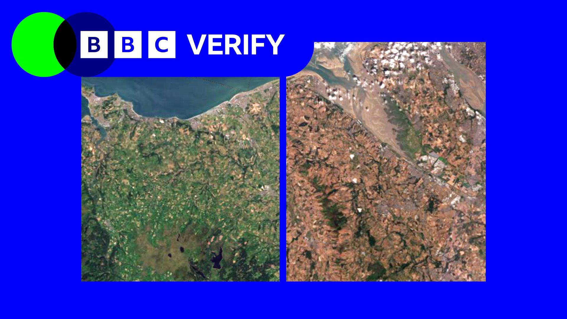
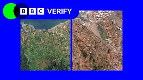
Satellite images show impact of heatwaves and drought on UK landscape
Comments
You must be logged in to comment.