bbc Press
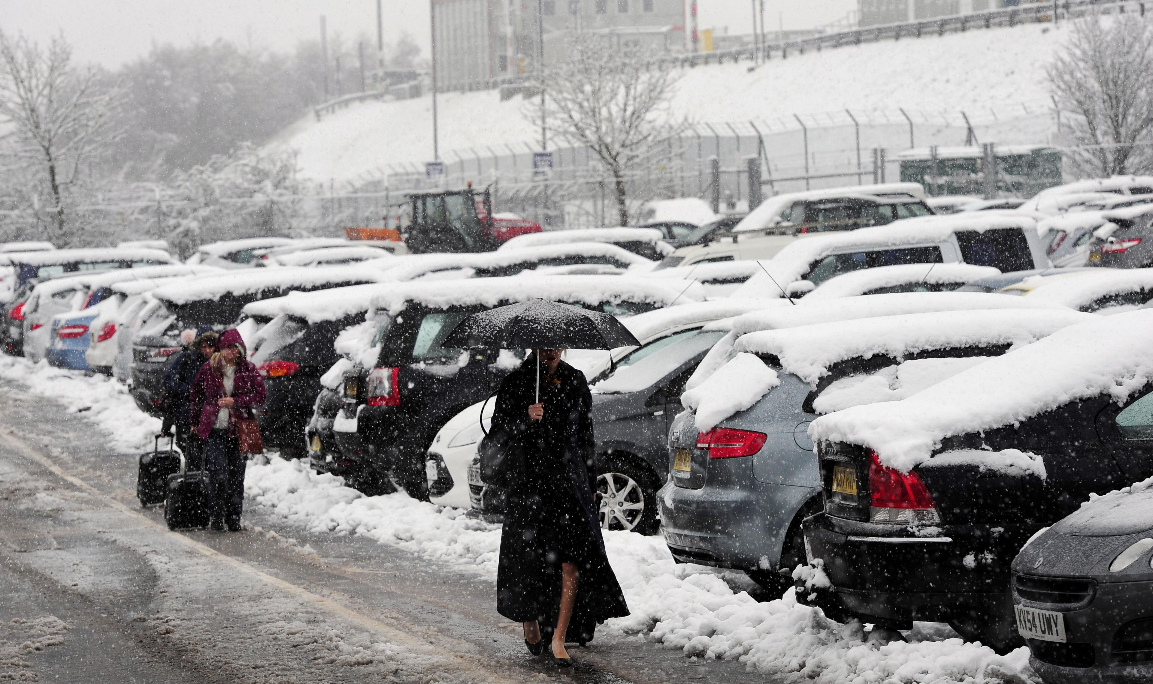
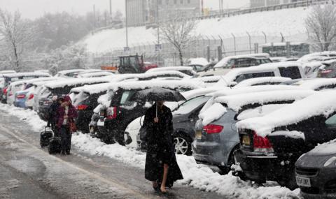
UK weather: Wind and showers return this weekend as temperatures tumble
Images
1 / 20
2 / 20
3 / 20
4 / 20
5 / 20
6 / 20

7 / 20

8 / 20

9 / 20
10 / 20
11 / 20
12 / 20

13 / 20
14 / 20

15 / 20

16 / 20

17 / 20
18 / 20

19 / 20

20 / 20
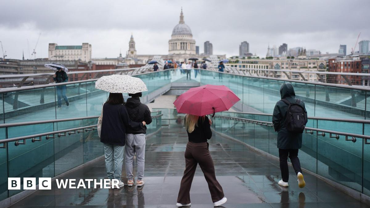
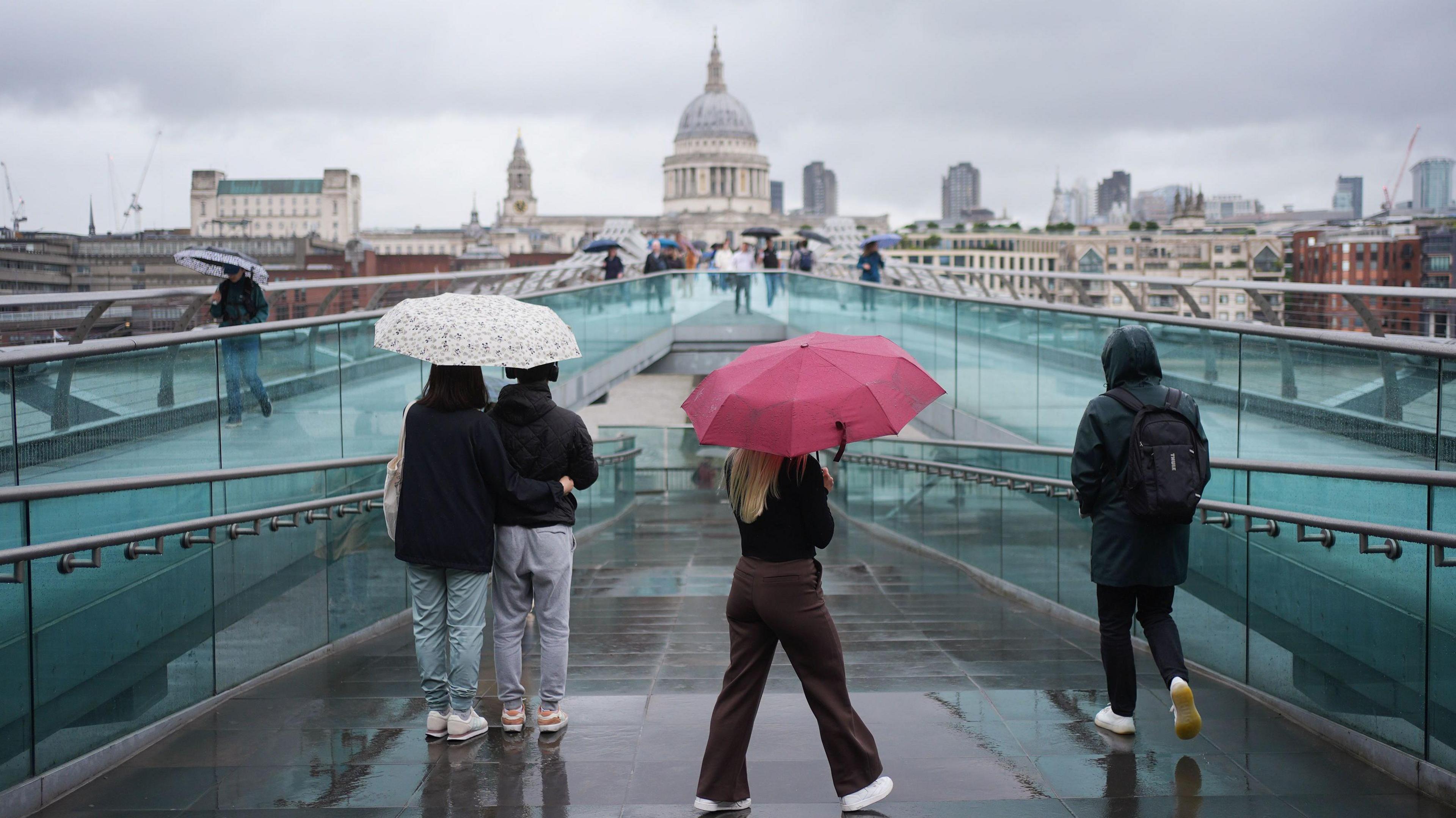
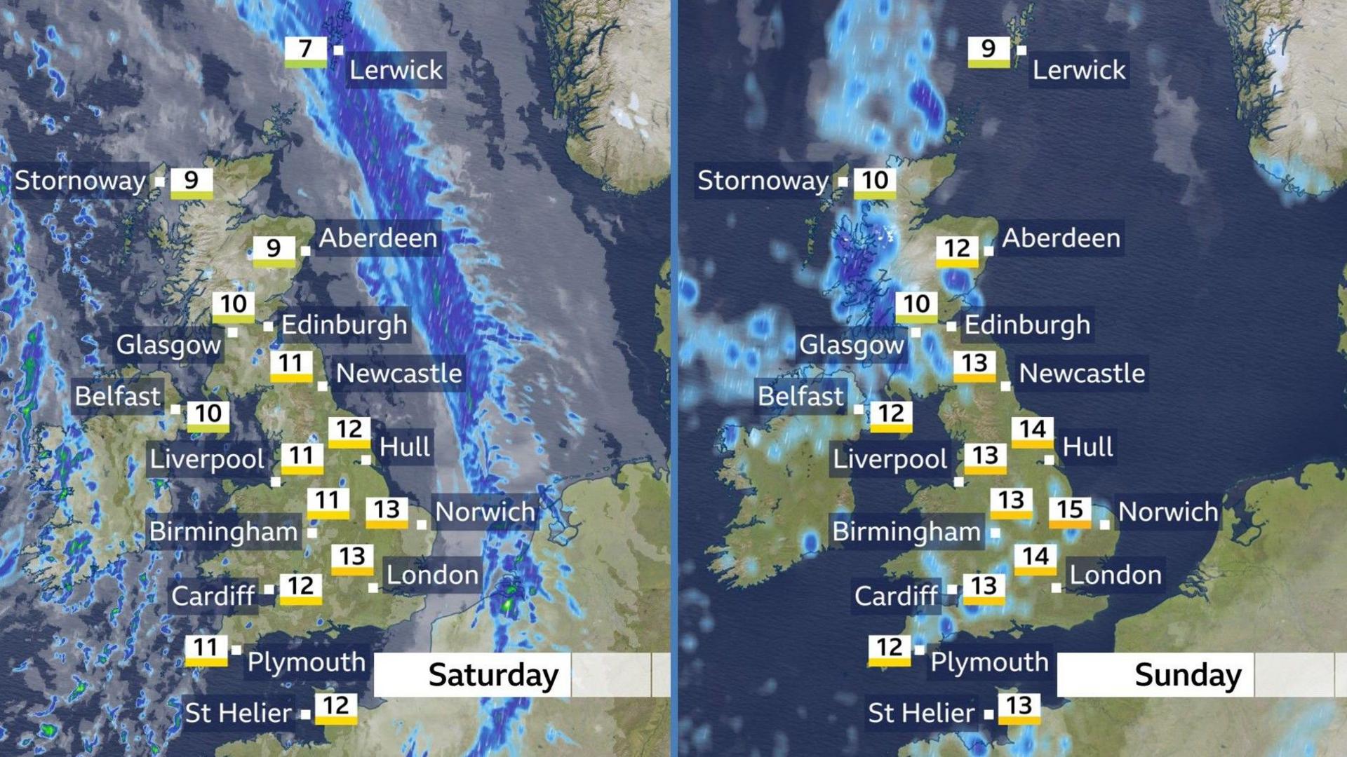
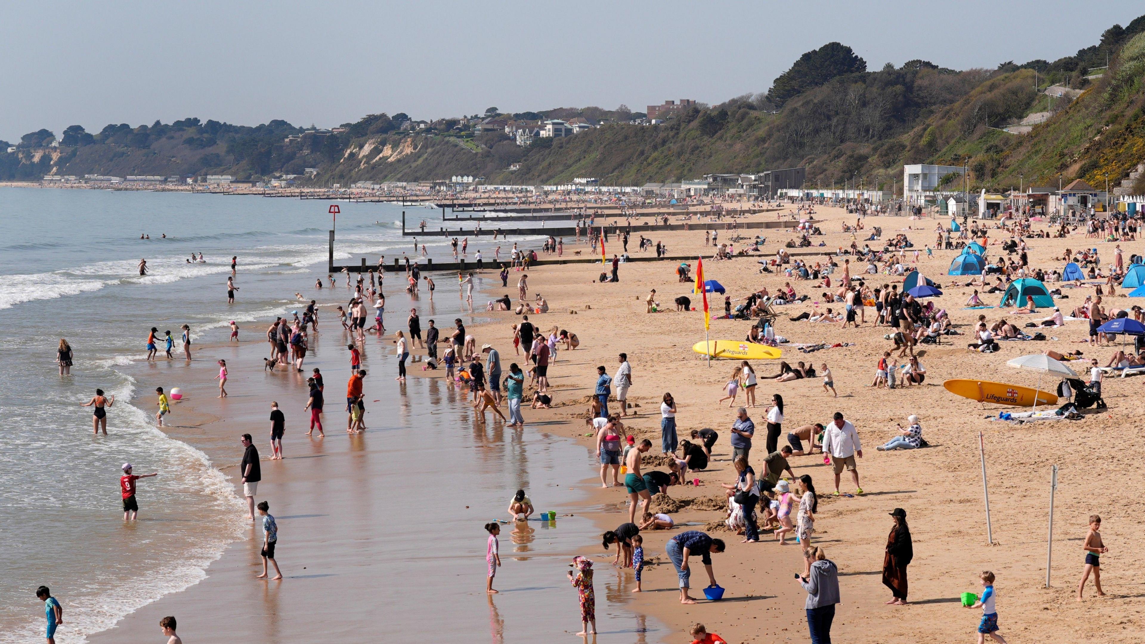
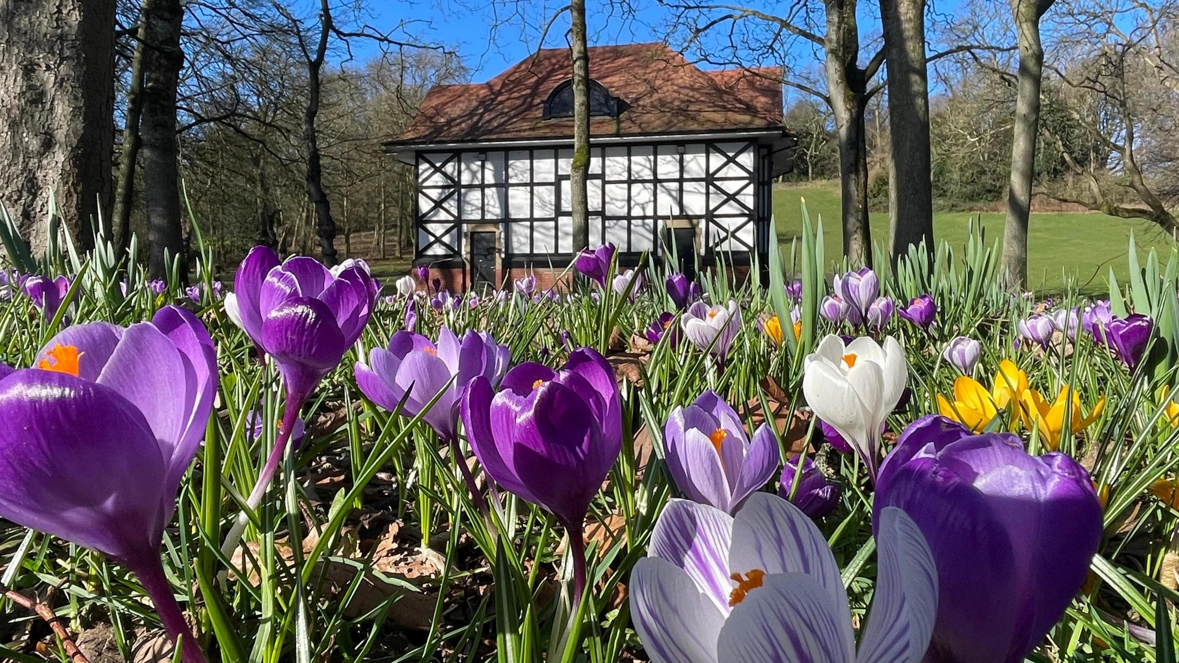
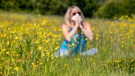
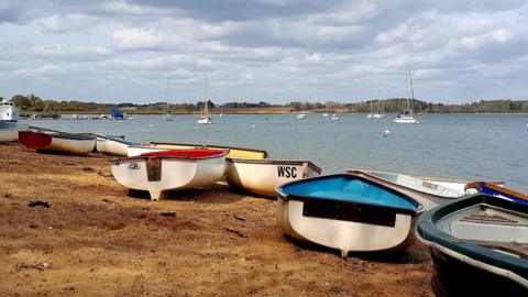
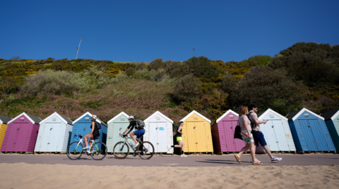
April showers expected over the weekend

Sunshine, thunderstorms, hail, and strong winds - parts of the UK are likely to see it all over the weekend.

This marks an abrupt change after the UK's warmest early-April day in 80 years on Wednesday, when temperatures peaked at 26.6C in London.

With low pressure firmly in charge it is going to be unsettled with changeable conditions.

And, temperatures will be more like the average for mid-April.

The swirling area of low pressure approaching the UK from the west, will become slow-moving, throwing bursts of wet weather across the country.

Early rain on Saturday will eventually clear from all parts to leave a mixture of sunny spells and 'April showers'.

Some of the downpours will be heavy, with the chance of hail and thunder, particularly in Scotland, Northern Ireland, northern England and Wales.

Snow will mix in with some of the showers across very high ground in northern England and Scotland, above 600m (2000ft) elevation.

However, it will not be raining all the time, with dry interludes between the spells of rain.

It will be windy, especially around western coasts where gales are possible, adding to a chilly feel.

Maximum temperatures will range from 8 to 14C (46-57F).

Temperatures will be close to the UK April average of 10-14C (50-57F)

Winds will remain strong on Saturday night before easing a little on Sunday for England and Wales.

Sunny spells and blustery showers will continue for the second half of the weekend, with the most widespread downpours in the west of the UK and slightly drier conditions further east.

It may feel slightly warmer than Saturday, with temperatures reaching double digits in most locations.

Pollen levels will remain high or very high for many areas of England.

What you need to know about hayfever season

There is nothing strange or unusual about the cooler and more unsettled weather affecting the UK over the next few days.

It is the temperatures we had earlier in the week that were out of the ordinary, in some cases more than 10C (18F) above the seasonal average.

Wednesday's 26.6C (79.9F) at Kew Gardens, was the second-highest temperature recorded in the UK during the first half of April.

The warmth came courtesy of a flow of southerly winds from continental Europe, which caused temperatures to climb rapidly.

Each of the four UK nations saw the warmest weather of the year so far.

People flocked to Bournemouth beach on Wednesday

That wind direction has now changed, with a broadly westerly flow from the Atlantic - hence the significantly cooler feel and a return to "normal" spring weather.

Temperatures are expected to climb a little during the first part of next week, albeit with some outbreaks of rain at times.

There is some uncertainty about how warm it might get.

At this stage, a return to the very high temperatures we had a few days ago looks unlikely, but details could change.

You can keep up to date with your local forecast on the BBC Weather website and app, and check the longer term prospect with our monthly outlook.

Is a 'Super El Niño' on the way and how will it affect the UK?

Spring is 'fastest-warming' season in the UK

Celestial events to light up the spring night sky

Comments can not be loaded

To load Comments you need to enable JavaScript in your browser
Comments
You must be logged in to comment.