yahoo Press
What to know about Wisconsin winter storm impacting, Milwaukee, Madison, La Crosse
Images

1 / 9
2 / 9

3 / 9

4 / 9

5 / 9
6 / 9

7 / 9

8 / 9

9 / 9
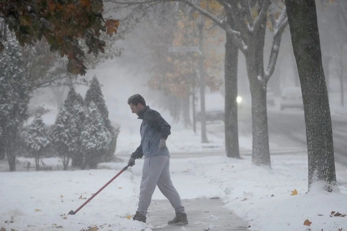
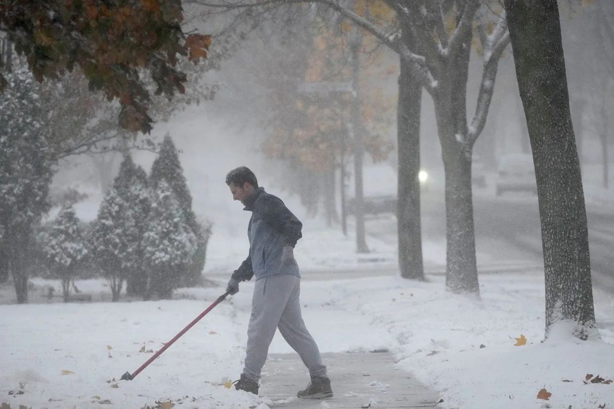
A winter storm warning is in effect Friday morning across much of northern Wisconsin with possible record-breaking snowfall coming this weekend to some parts of the state.

The latest forecast from the National Weather Service in Green Bay predicts a "significant winter storm" across northeast Wisconsin between late Saturday and Monday, with as much as 24 inches or more of snow possible in parts of the region.

The major snowfall could pair with wind gusts of up to 50 mph to create blizzard conditions in the region, "as well as causing power outages and widespread travel disruptions," said the weather service, which recommended "making alternate arrangements now, as travel conditions will become treacherous."

The weather service noted there is still uncertainty about where exactly the heaviest snowfall will occur. Still, travel is expected to become hazardous across northeast Wisconsin, particularly in Green Bay and the Fox Cities.

While the heaviest snowfall is expected across northern Wisconsin, the Milwaukee area could still see a mix of wintry weather, including rain, sleet and between 5 to 8 inches of snow, according to the National Weather Service.

Andrew Quigley, a meteorologist for the weather service, told the Journal Sentinel that the area won't see "insane" amounts of snowfall, but residents should still prepare for the rain, snow and wind.

Much of the region's snowfall is expected to happen late Sunday, after transitioning from a mix of rain and sleet, Quigley said.

More: Milwaukee should avoid worst of winter storm, but mix of rain, snow still coming

A mix of snow, sleet and freezing rain was in the forecast overnight Saturday into Sunday for Madison, along with wind gusts as high as 25 mph, according to the National Weather Service.

The story was expected to be similar Sunday, with a mix of rain and snow transitioning to mostly rain during the day, then back to snow as evening approaches. The snow could become heavy at times Sunday night, the weather service said, with widespread blowing snow likely after 8 p.m., and snow and sleet accumulation of 4 to 7 inches possible.

There could be wind gusts as high as 40 mph by Monday, with widespread blowing snow expected.

The forecast from the National Weather Service in La Crosse indicates that "confidence is high" that 12 to 18 inches of snow could fall along and north of Interstate 90 between Saturday night and Monday morning, though "exactly where this band sets up will be key to which locations see these higher-end snow amounts."

"There will be a sharp cutoff in snow amounts on the south side of this band along and south of I-90 as the snow mixes with rain, sleet and even freezing rain," the weather service said.

But regardless of snowfall amounts, strong winds expected Sunday afternoon and Monday morning will "likely lead to blizzard conditions," especially in open areas.

This article originally appeared on Milwaukee Journal Sentinel: What to know about Wisconsin winter storm impacting Milwaukee, Madison
Comments
You must be logged in to comment.